
Westfall Meadow: Easy Winter Yosemite Backpacking
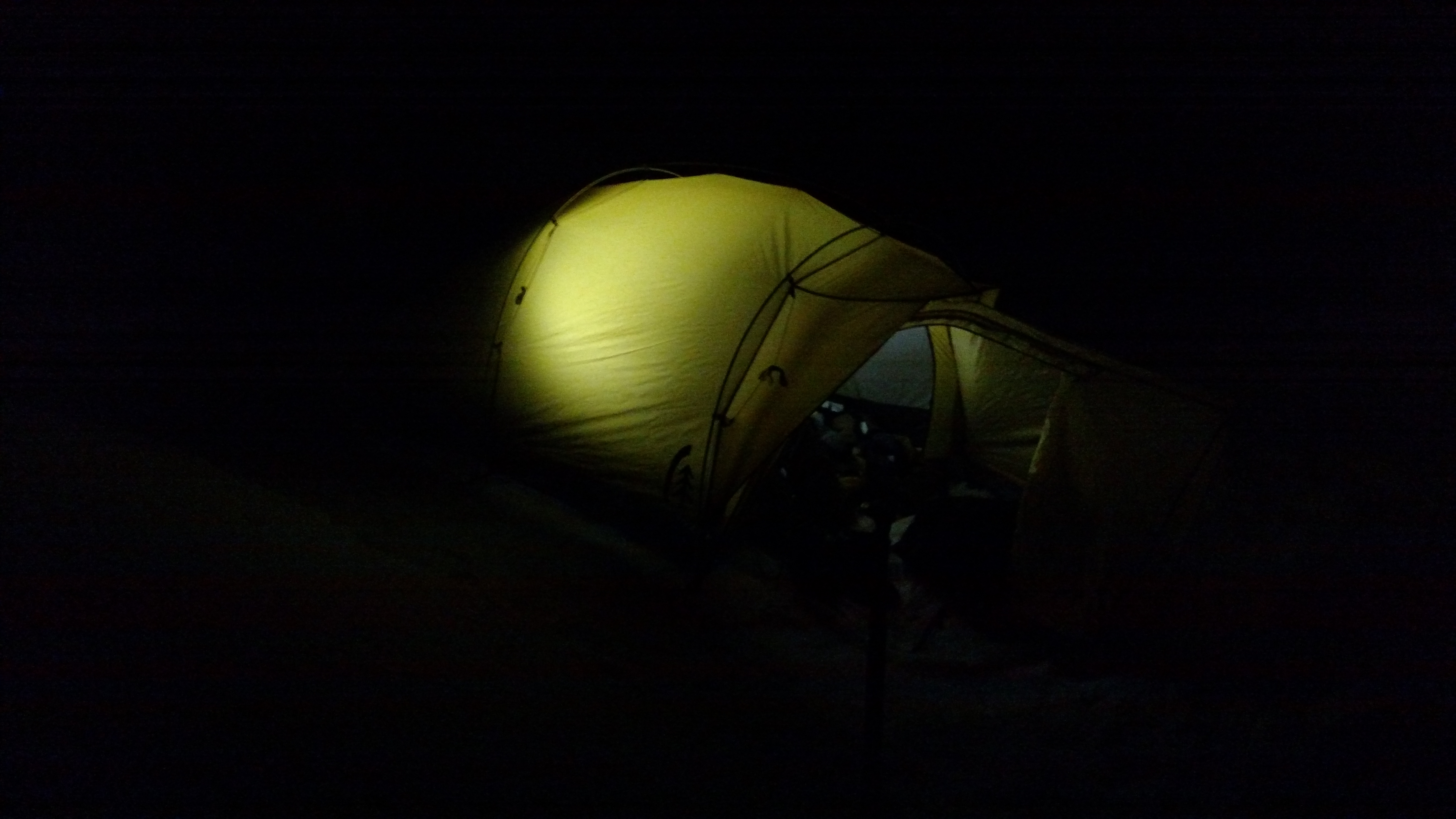
While laying in our yellow slug winter tent, in the impossible quiet of the dark Yosemite forest, the question arose: When was the last time we actually backpacked in Yosemite?
It was only last spring (2015), when Curtis and I backpacked to Styx Pass and Boundary Lake – an area straddling the Yosemite Wilderness and the Stanislaus Emigrant Wilderness. But does that count since we were able to get our permits from the Groveland Forest Service Office? Before that, in 2013 I had backpacked into the South part of the park, again from the National Forest (Sierra NF). So, if not that trip, it wasn’t since I our dogged -yet determined! – Yosemite trip with our friends up to Ottaway Lake during the onslaught on the Rim Fire that we had a true, start-to-finish, “Yosemite” backpacking trip.
In Yosemite it can be hard to get permits, it is often crowded, and the Park Service doesn’t allow dogs. But all this can be forgiven in the utter silent winter night. Then you will want to dive back in… to map, then hike, and sleep in all the little under-loved and over-loved parts of our Yosemite backyard.
Especially because it is pretty cool that Yosemite is essentially our backyard.
Winter Backpacking Westfall Meadow, Yosemite
Trailhead: Take Glacier Point Road to Badger Pass “The Yosemite Ski and Snowboard Area.” If the ski area isn’t open, then it likely the road isn’t open (or it’s summer), which probably means you should find a plan b. After obtaining permits from the Badger Pass Ranger Station/ski patrol (the A-frame to the next to the main ski area) you can park in the permit only area and proceed to hike. Map
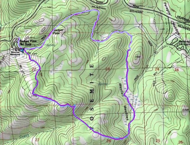
Distance: My Garmin said the complete loop was 9 miles. I think the maps say this is shorter, but invariably you will get distracted and drop off the trail. ~1500 ft in elevation gain the whole trip.
Westfall Meadow was our Valentine’s weekend trip. It was a sunny and warm, but still snowy, weekend for this trip. If you are looking to hike this right NOW, as I post this in early April, be warned that it’s probably now too late for this winter trip. The Badger Pass “Yosemite Ski & Snowboard Area” website says it is open into early April, but should shut up shop very soon. When planning any winter trip out of the Glacier Point area be sure to check the ski area website for info on trial conditions, and then the Glacier Point Road winter closure info just to double check.
The Westfall Loop is a micro-adventure trip. Since it was a short loop, we were able to start extra late from Badger Pass, and then complete our trip on the next day. A great choice for beginner winter backpackers who want to try out their new skill set.
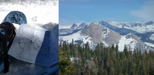
The top image shows a sign you will reach at the first intersection of the trail traveling clockwise. This is not super well shown on the ski map, but the answer is left, to the Glacier Point Road. Most of the uphills will be on the next day after Westfall Meadow. Click for larger topo map.
Yosemite Wilderness regulations require all backpackers camp at least one air mile from roads, or past wherever the park has marked on the most recent wilderness map. While leaving out of the ski area in the winter, when the roads are covered in snow, the one air mile boundary becomes a bit more nebulous. The ranger informed us we were good to go as long as we were outside the boundary of the ski area (limit line trail). We aimed for Westfall Meadows as our final camp destination, since that is clearly allowed even during the summer backpacking season.
Due to our late start we decided to hike the trail clockwise to make good time before night fell. Pro-tip for shedding time: instead of starting from the closest trailhead to the permit parking spaced, walk down the parking lot to the kiddie snow inner tube sledding area and then enter the trail to put on your snowshoes. From there we walked down the Old Glacier Point Rd Trail, then turned right onto the Limit trail. We camped along the Limit Trail, and headed into Westfall Meadow the next morning.
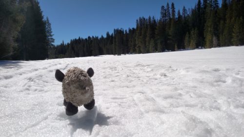
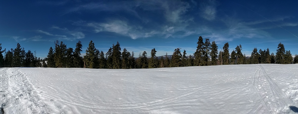
Westfall Meadow, Yosemite in the Winter
At Westfall Meadow the ski trail starts to wander, then turning into a minor route finding challenge – especially once the Merced Crest Trail is reached. Luckily it had been some time since the last snow, so we had other’s tracks to follow to make an easy go of it. Otherwise the trail markers are usually fairly plentiful in this area, and be sure to obtain one of the ski trail maps from the Ranger station before leaving (ski trails have not been marked on any of the traditional trail/topo maps I have seen).
The finale of the trip was a strenuous snowshoe up to the top of Tempo Dome. At the top you will find a flat expanse that is fairly easily reached by those that have wandered over from the nearby chairlifts.
Our loop ended at the top of Badger Pass ski area, where a ski patrol attendant said that we could walk down the orange rope marking the ski area boundary for a bit, then follow the edge of the Rabbit(?) Slope down to the parking lot. Maybe ask your ski patrol attendant what they think? Seems like this could be variable.
We concluded our trip with a stop for veggie-burgers at the former concessionaire, and went home to evaluate how sunburned we were. Perpetual winter note to self: ALWAYS MORE SUNSCREEN.
More photos below:


 Hello! I am a 30-something outdoors-lady, backpacker, and resident of Groveland, California -
Follow Me: