Bartlett Peak: Summit Hike from Boundary Lake, Yosemite & Stanislaus
I don’t often plan backpacking trips where we basecamp in one location and dayhike. But maybe I should, it is a great strategy for hitting up nice places where you just don’t want to haul around a giant pack – such as random summits – plus it just sounds so leisurely, day hiking in the wilderness away from the trailhead crowds.
Of course for Curtis and I’s trip to Boundary lake we didn’t actually end up base camping at Boundary Lake as planned. Luckily the hike on the second days down to Boundary lake was short enough that we had plenty of time to head to the nearby Bartlett Peak.

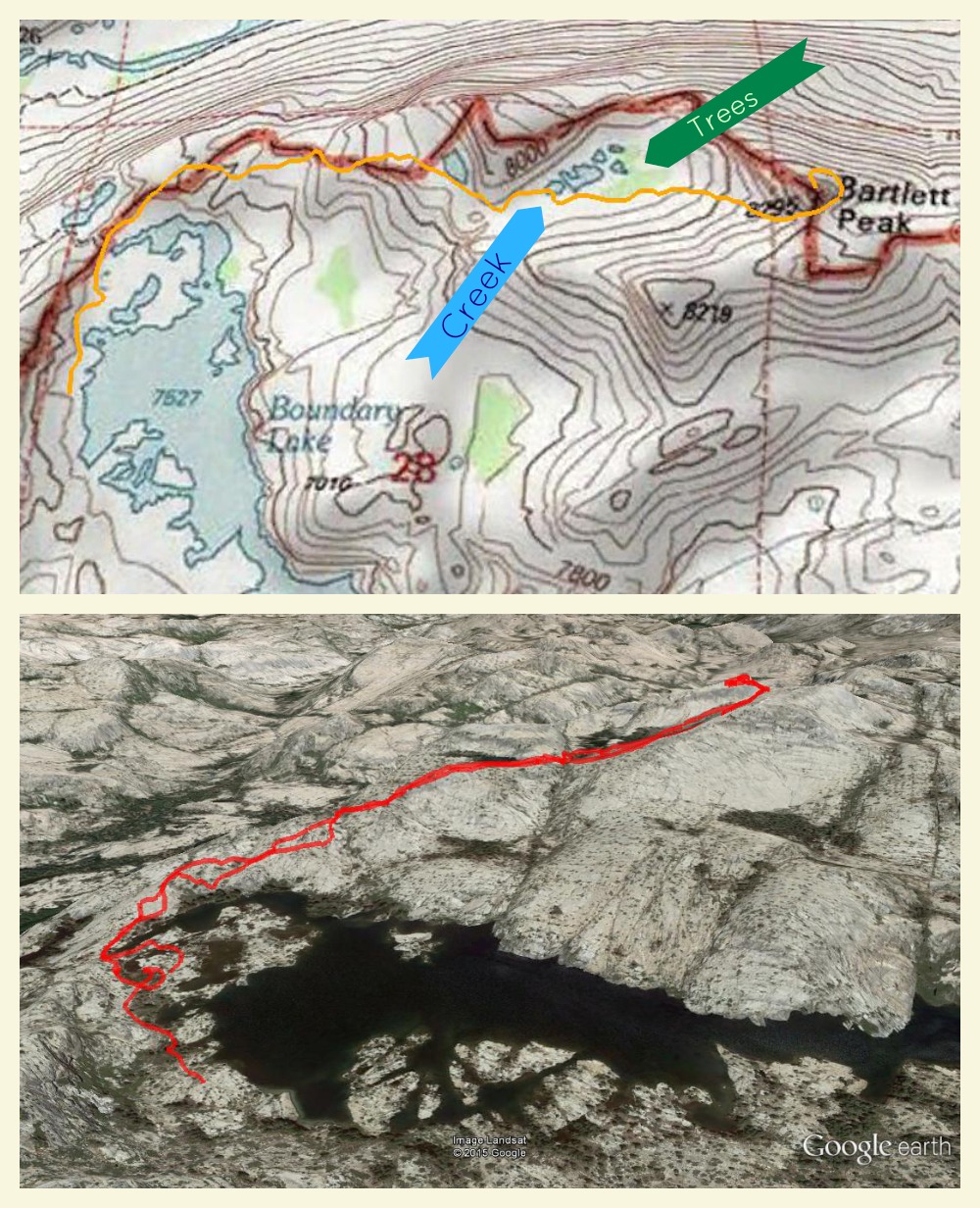
Map of the hike. North is up on the topo map, the Google Earth view is at an angle. Click through to see a larger topo map or download a track by clicking here.
Hiking Bartlett Peak, Yosemite and Stanislaus National Forest Boundary
Trailhead: We started from Boundary Lake, after backpacking there from the Shingle Springs Trailhead on the Stanislaus National Forest.
Distance: 4.5 miles round trip, 1060 ft elevation gain. Not too physically difficult for a summit, especially since it is only 8295 ft in elevation, but there are a couple tricky navigational spots here and there. This is not a peak with a use trail to the summit, you should be comfortable in your navigation skills for this hike.
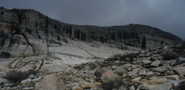
Bartlett Peak’s summit isn’t easily visible from Boundary lake, but a nearby knob (8219 ft elevation) does appear prominently to the east. On the map though Bartlett Peak looks awesome, which is why I did a little research on Bob Burd’s blog before our trip. It was either this or Mercur Peak, and since this one seemed less visited it was more alluring (although I would still like to do Mercur Peak someday – anyone up for an ultra long day hike or weekend backpack trip?).
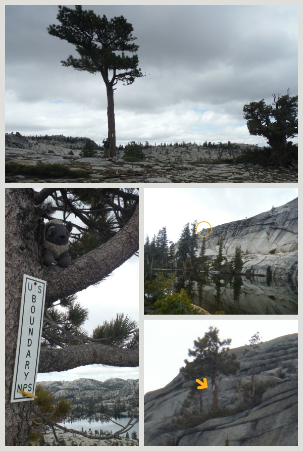
Our route to the summit, which as far as I have seen online is the only hiking route, started off by heading east from the northern side of Boundary Lake. Here we wandered between boundary signs for the Park as we had hiked towards a stand of green trees in an alcove in front of peak. Before reaching the trees you will run into one lake, where suddenly the park boundary climbs up a cliff. We wouldn’t meet that boundary again until the summit.

It is odd how adamant the park seems about marking the boundary in this lesser visited area of off trail granite wilderness. The bottom right two images show a boundary sign we could just barely see up the cliff from the first lake we reached. Zoom in and it for sure looks like the same rectangular boundary sign on the poor lone tree on the cliff. I wonder who’s job it was to put that sign there!?!
Reaching the alcove of trees shortly after the first lake we discovered there was a creek and another smaller lake here, which makes sense since this areas is so green. I think attempting to find the best way to get down to creek level (or up from on the return trip) and then crossing the creek/lake without going significantly out of the way is the trickiest section we encountered on this trip. Some leaps (and landings) of faith latter we reached the south side of the creek, and started heading east to the narrow saddle between Bartlett Peak and a smaller unnamed summit south of our destination. This was the most aggressive uphill of the trip, but now it is pretty easy to see the destination.
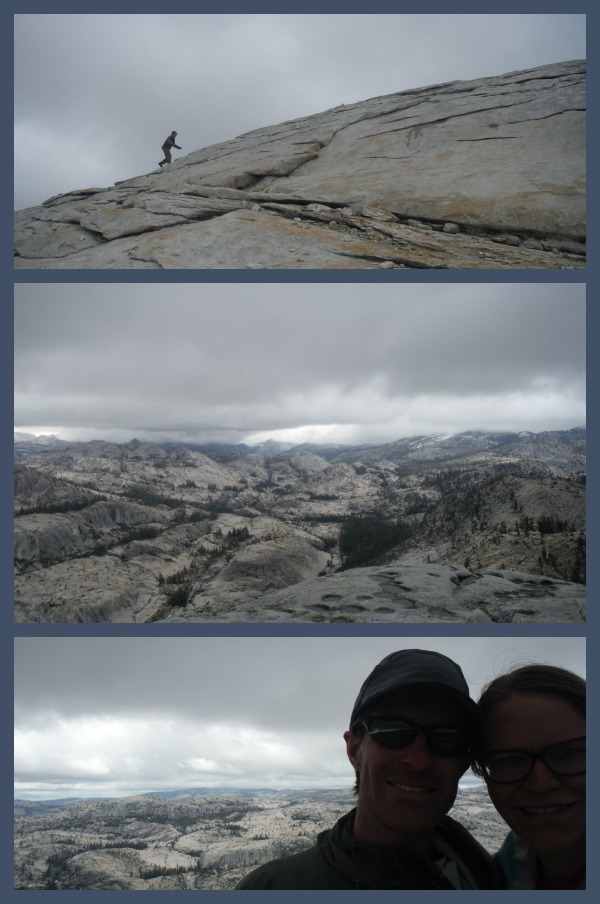
At the saddle we followed the advice we researched online and continued east towards a small tarn east of the summit before finding a place to head north and ultimately spiral back south as we walked up the steep granite dome to the cairn that marks the summit.

Of course as we did all of this the skies looked somewhat threatening & gray, meaning we waited until the last climb at the saddle to weigh our odds of getting struck by lightning during our scramble and stap at the top. Nothing like a good adrenaline rush.
Sure it isn’t the tallest peak in the Sierra, but Bartlett peak offers some amazing views over the Cherry Creek canyon and distant northern mountains. Definitely a nice day trip if you are staying at Boundary lake and want an off trail adventure to test your navigation skills.


 Hello! I am a 30-something outdoors-lady, backpacker, and resident of Groveland, California -


How was the fishing at Bartlett lake ????