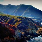
For as much as I have heard about how beautiful Big Sur is I didn’t really know much about Big Sur. What I did know: there would be cliffs with magnificent ocean views, a relatively underpopulated coastline, and (thanks to my Mom) that there was some famous bridge there. It was with this minimal knowledge that my parents started down Coastal Hwy 1 towards the Bixby bridge and some dot on the map called “Big Sur” to see…
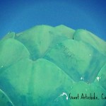
My parents had a nice long visit here in California, 10 whole days, and as lovely as Yosemite and the mountains are it isn’t quite the whole West Coast experience if you don’t get out to the coast! So we planned to get out to visit Big Sur, stay in Monterey, and hit up a few tourist attractions along the way… including this Giant Artichoke in Castroville! Next time I find myself…
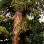
Trailhead: Mariposa Grove Rd/Parking lot off of Hwy 41. Might be necessary to take a shuttle in peak times of year.
Distance: ~ 2 miles round trip to Grizzly Giant & Tunnel Tree. The trail is moderately sloped on the hike out.

We knew it was going to be around 7 miles and a REALLY LONG DECENT DOWN. But even if you know that it will be a long hike down it doesn’t necessarily hit you until you are looking down the rocky talus switchbacks to the speck of Agnew Lake and you think to yourself: “What possessed someone to put a trail here?”
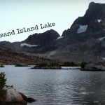
We started our super short 3-ish mile hike to Thousand Island Lake around noon. Extra-curricular exploring included a little off trail climb after exiting the Garnet lake basin (good views of the mountains, Garnet Lake, and just a sliver of Mono Lake was visible in the distance) followed by lunching down at Ruby Lake

Curtis had been (good-intentionally!) pressuring his brother, John, to come down to visit the Sierra and going hike on the John Muir Trail (JMT) for over a year now… and he did! Over the course of 3 days (Day 2 & Day 3 blogs) we visited Thousand Island and Garnet Lakes hiking approximately 17 miles on and off of the JMT on our through hike from Agnew Meadows down to Silver…

Sometimes when we fly into the San Francisco Airport we use it as an excuse to visit the city and/or the coast for the day before or after our trip. With Curtis’s brother, John, flying into SFO to visit us we thought that this too would be a good time to tour him around. Or “tour” as well as two people who live in Groveland can “tour” around San Francisco pretending as if we know what…
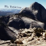
Trailhead: Olmsted Point, off of Tioga Rd / Hwy 41
Distance: ~ 9 miles out and back. Trail is fairly level with just enough climb in the way out that you will appreciate gravity’s help on the way back.


 Hello! I am a 30-something outdoors-lady, backpacker, and resident of Groveland, California -


Follow Me: