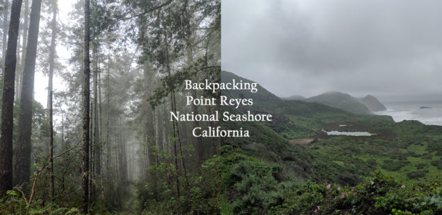
Point Reyes Backpacking the Southern Loop to Glen Camp: Lake Ranch and Coast Trail
I’ve been lucky in reserving last minute backpacking permits in Point Reyes during weekends forecasted to be rainy and miserable. Both times the permit was for Glen Camp. I think of Glen Camp as one of the less mysterious and alluring sounding camps in along the National Seashore (I’m looking at you “Sky” and “Coast” camps). To be fair, Curtis argues these names are more lazy than mysterious… but then why are they always reserved??? I’m not going to argue with any permit last minute permit in Point Reyes, so in April 2019 we headed back to Glen Camp.
On Curtis and I’s first trip to Glen Camp we took the traditional shorter hike in from the trailhead at the visitors center. For our second trip I wanted to make it more of a journey. We started from Palomarin Trailhead and took the scenic, and often extremely soggy, route to Glen Camp. It was a lot of fun.
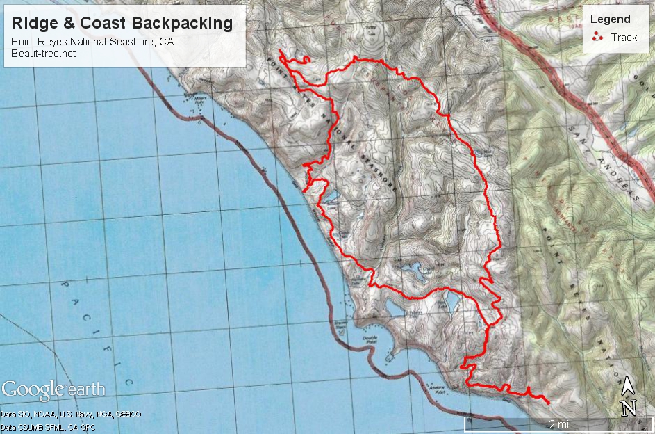
Backpacking to Glen Camp: Lake Ranch, Ridge Trail, and Coast Trail loop (Southern Loop)
Trailhead: First pick up permits from the visitor center at Bear Valley. I reserved permits online prior. From the visitor center the trailhead is 9 miles south on Hwy 1, turning right onto Olema Bolinas Rd for about 2 miles before turning onto the winding Mesa Rd to the trailhead. Mesa Rd does turn into potholed gravel that makes for some slow driving in a passenger vehicle. Map.
Distance: My GPS watch tracked 9.5 on Day 1 from Palomarin to Glen Camp via the Lake Ranch Trail, elevation ranging from sea level to 920 ft., total climbing of 1500. The return trip via the coast trail was 8.5 miles, max elevation 520 ft, total climb of 1400 ft. 18 miles round trip for the weekend.
Weather predictions aside, the rain only hit us during our drive and while we were safely tucked inside of our tent at Glen Camp. Even without the rain actively falling the trails are a soupy mud in the spring. Lake Ranch trail is less soupy, more wet, as the encroaching vegetation is actively trying to return to nature despite the best efforts of trail crews. The massive poison oak bushes cut through to make a trail are impressive!
Packing List Essentials for a Rainy Point Reyes Trip:
- Waterproof pants, and jacket, and pack cover
- Boots and socks you can still hike in when they are wet and encased in mud
- Waterproof Mount Tamalpais, Point Reyes National Geographic Trails Illustrated Map
(better then the paper one at Visitors Center)
- Extra garbage bags
- Dry seating – I brought my Therm-a-Rest Z Lite
just to sit on. It was so luxurious not constantly having to sit on wet grass, or camp tables, or sand.
Am I selling it?
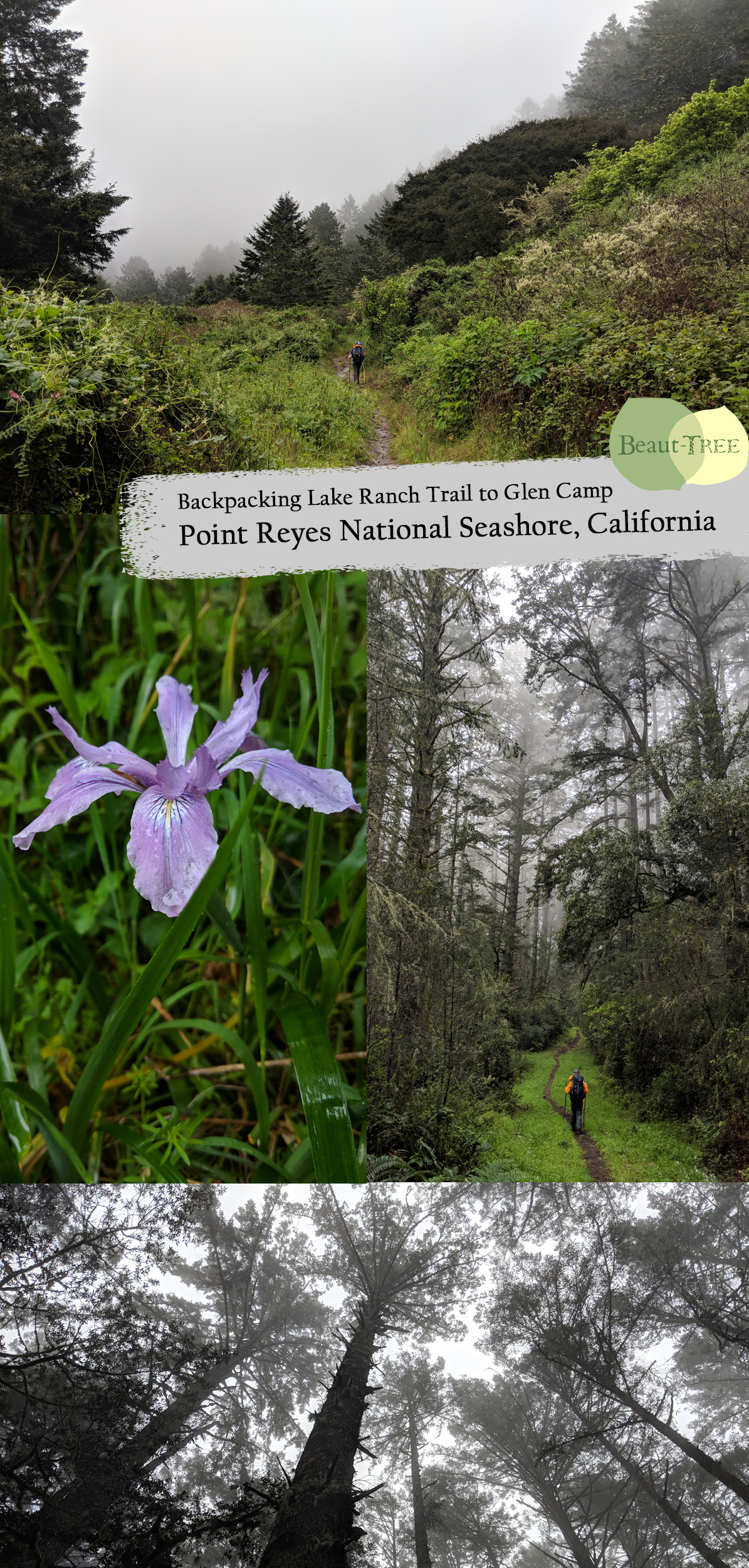
Once turning onto the Lake Ranch Trail we did not see another hiker until almost reaching Glen Camp. The forest, enveloped in a thick fog on that day, is enchanting. I was constantly torn between gazing up at the canopy overhead and looking down to find endless slugs, newts, and snails crossing our trail.
Mud Lake, located just prior the intersection with Ridge Trail, is covered in algae and smells of sulfur. The sulfur is a sign that bacteria are anaerobic in this waterlogged area. While I would not suggest taking a lunch break here, it is an interesting spot to poke around. Having a soil scientist handy, Curtis poked at a sidecut to uncover a grey layer of soil . Called “gley colored,” this soil becomes a uniform grey color after being waterlogged and without oxygen. If you don’t have a soil scientist as your hiking partner, you can read up prior hiking to nerd out.
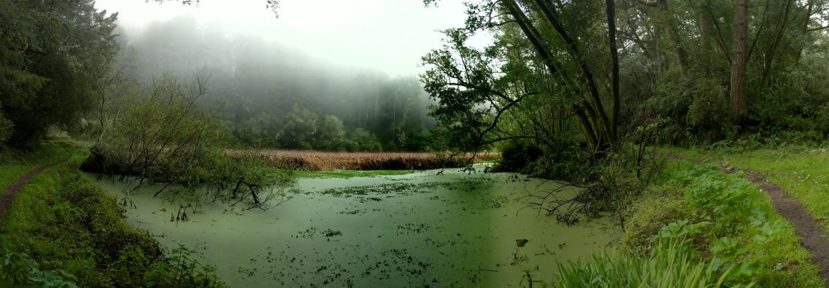
Mud Lake in all of it’s green gooey glory
The forest changes once reaching Ridge Trail, which must have been an old road. This is the point the trail map starts becoming necessary – numerous different shortcut trails that can take you towards Glen Camp, and only you can determine which way is the shortest.
Glen Camp is located in a protected little hole – complete with pit toilets, bear bins, and picnic tables. Because the weather did become nicer, or backpacking is surging in popularity, the camp did fill up that night.
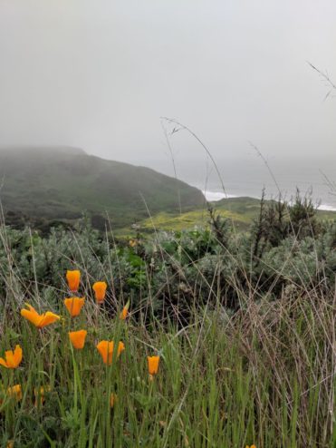
To complete the loop we took the Coast Trail back to the car. This traverses down through Wildcat Camp. Here we accessed the beach for the first time on our trip during the incoming tide. The views on the way up and out of Wildcat are impressive as well, and I can see why this trail and camp is very popular.
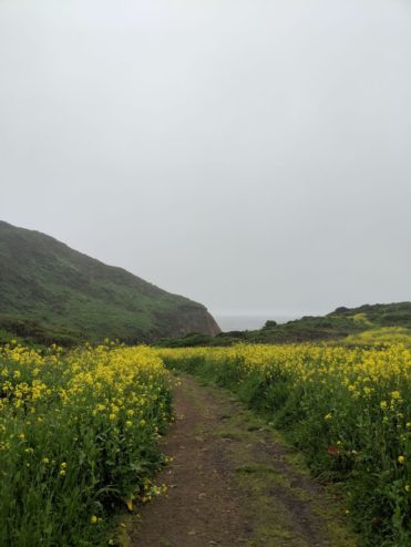
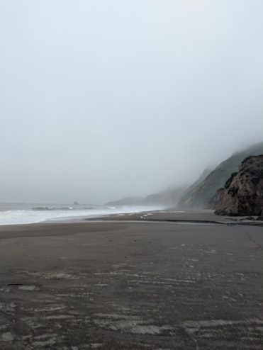
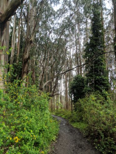
One final note: I had once considered wraping a side trip to Alamere Falls into this hike. The officially sanctioned way to access the falls is by hiking up the coastline from Wildcat Camp, which must be done at low tide. The visitor’s center has print outs daily showing the tide tables. During our trip low tide would have been at 5am, so that was a solid no thanks for me! It is obvious that many hikers access the falls via another route shooting off from the Coast trail, but given the magnificent views you can obtain by staying on the trail I was happy with our choice. Plus my dogs were barking after being wet for two days, so getting back to the car and into some dry shoes was enormously satisfying.
More photos in the gallery below:



 Hello! I am a 30-something outdoors-lady, backpacker, and resident of Groveland, California -


Follow Me: