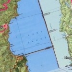
I’m Thru-Hiking the Tahoe Rim Trail!
Tomorrow I will set foot for the first time on the Tahoe Rim Trail… hopefully I think it is alright because then the plan is to thru-hike it. Actually, even if I (somehow, in an unlikely turn of events) find out it is pretty lame and filled with mosquitoes and summer tourists I am planning to through hike it. Because THRU-HIKING, that sounds impressive – right? This was all my…
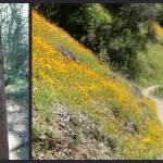
Hite Cove: California Wildflowers with a Side of Ruins
Guess what season it is? … California Poppy Season! Last weekend’s arrival of California’s poppies swept aside any previous hiking plans (Sorry Little Nellie Falls, check you latter) and instead filled my head with visions of hiking in sandals through fields tinged with orange. And not just any trail would do – this year I was going to get to Hite Cove, damn it! Hite Cove Distance: 9-ish mile out…
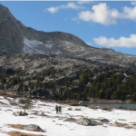
Saddlebag Lake Hiking – to Greenstone & Hummingbird Lakes
October, it has gone by so quickly! & Between a trip to Michigan and the government shutdown I have not spent much time in the Sierra. Actually, Curtis and I were supposed to go backpacking with our friends, Jen & Ryan, over the Columbus day weekend – but without being able to get a wilderness permit we had to call off that plan. Not the type of people to let…
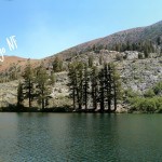
Day Hiking the Duck Pass Trail, Mammoth Lakes
It is fire season in California, which means two things: (1) Curtis leaves me behind to work looking at fire damaged soils, down near this time near San Bernardino, and (2) There is smoke everywhere, including the Mammoth Lakes Basin on the east side of the Sierra from a fire on the Sierra National Forest. But even if the vistas are a little obscured smoke should not, and will not, ruin a…

Red Hills Wildflower Hike
This is the best time of year to drive Highway 120 up to Groveland – green hillsides thanks to the recent rain and, as I noticed on my last drive down to Sonora, wildflowers lining the roadsides. On my drive I pass Chinese Camp, the very small town that is the portal to the BLM Area of Environmental Concern: The Red Hills, which I had recently blogged about this presidents day. Other than…
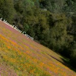
Hiking the Merced River Canyon – with a pup!
Trailhead: West of El Portal take the Foresta Rd bridge over the Merced, then immediatly turn left onto Incline Road. The narrow Incline road goes past many nice looking forest service campsites, then turns to gravel before you reach a gate. Park here and start hiking past the gate.
Distance: About 4.5 miles out and back (2.25 miles each way). The trail is really a service road that runs parallel to the North side of the river, which ends at where Hwy 140 crosses the North side Merced to via a small aluminum bridge to avoid a landslide that happened a few years back.
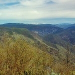
Stanislaus National Forest Hiking: Groveland Dog Walking Along the Tuolumne
Note that areas located within the 2013 Rim fire, including this location, are not accessible for safety reasons until Forest Service employees note otherwise. There is obvious signage in this area to indicate closures. Please follow all rules and use your common sense as always when entering into public lands. Hiking in the Groveland Ranger District of the Stanislaus National Forest is not really a thing. Nobody around here does it that much when Yosemite is so close. Plus, those darn low elevation national forests are…


 Hello! I am a 30-something outdoors-lady, backpacker, and resident of Groveland, California -


Follow Me: