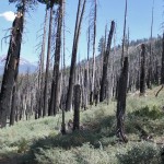
Backpacking Mono Meadows to Clark Fork of Illilouette Creek – Day 1 to Ottoway Lake
On August 24th through the 28th 2013 six Michigan Technological University alumni (Curtis, myself, Jacquie, Dan, Kate, and Kris) were to backpack Yosemite National Park, from the Hwy 120 down to the valley. It was to be the quintessential backpacking trip, half dome hike included… but since the Rim Fire happened to be blowing up that very weekend, in the words Kenny Rogers (and latter covered by punk band Elmer):…
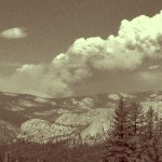
The Rim Fire from Groveland
In case you have not heard, the big news around Groveland & this stretch of of the Sierra recently has been the Rim Fire, currently at 228,680 acres & the 4th largest wildfire in California history. Curtis, I, and our pets (Basil and Herman) are now back at home and safe, but it was an adventure getting here! We survived home evacuations, road closures, visitors, and backpacking trips during this chaotic…
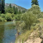
Reflecting on Life through the Tuolumne River: Poopenaut Valley Trail & Rafting
I have had a river filled couple of weeks here in July, enjoying the wonders of the wild and scenic Tuolumne & Clavey Rivers. Great for the hot weather, and even better for the heart…
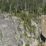
Sentinel Dome & Taft Point Loop Hike
I have been meaning to post about Curtis & I’s hike to Sentinel Dome and Taft Point since late June. We hiked this one on June 20th, on a rare weekday day hike. The trek was not very intense, but provided some of the best views of far eastern mountains that we have ever seen while inside of the park. If we had to choose one over the other, personally…
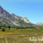
Backpacking Buckeye Creek, Hoover Wilderness
A couple of firsts this 4th of July weekend – My first backpacking trip of 2013 and Curtis & I’s first backpacking trip in the Hoover Wilderness! I choose this trip out of Exploring Eastern Sierra Canyons: Sonora Pass to Pine Creek, which I recently found and bought a copy of in the Groveland Museum (which I was surprised to see has the best selection of regional hiking books and…
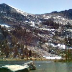
Elizabeth Lake Hike, Yosemite
Happy first day of summer 2013! I feel as if I have been slacking off on my duties as a summer trip planner – I only have reserved permits for one backpacking trip so far (more on that latter) … but in the mean time Curtis and I have been checking off shorter Yosemite day hikes off our master list. Better yet, with day hikes less than 6 miles we…
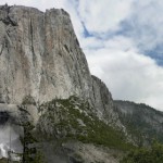
Upper Yosemite Falls Hike! & a Lesson in Trail Construction?
It is May in Yosemite and you know what that means – Waterfalls! The snow in the high country is melting and recently (well, last week at least) we have been receiving some hot summer type weather. Springtime is the best time for waterfalls every year, but less with the than average amounts of rain/snowfall this winter the waterfalls might dry out sooner rather than latter this year. :( This is Curtis…
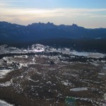
Gaylor Peak Hike
Tioga Pass isn’t opened yet – but since almost all of the other passes in our neck of the Sierra are open, I am channeling my anxiousness into a blog post about one of my favorite short hikes on Tioga Pass: Gaylor Peak. Specifically the first and most memorable time was the first during the strangely snow-less 2011-2012 winter, a December Hike with our friend from Michigan Tech, Kris. Or as I like to think of it: Midwesterners…
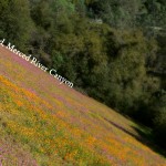
Hiking the Merced River Canyon – with a pup!
Trailhead: West of El Portal take the Foresta Rd bridge over the Merced, then immediatly turn left onto Incline Road. The narrow Incline road goes past many nice looking forest service campsites, then turns to gravel before you reach a gate. Park here and start hiking past the gate.
Distance: About 4.5 miles out and back (2.25 miles each way). The trail is really a service road that runs parallel to the North side of the river, which ends at where Hwy 140 crosses the North side Merced to via a small aluminum bridge to avoid a landslide that happened a few years back.


 Hello! I am a 30-something outdoors-lady, backpacker, and resident of Groveland, California -


Follow Me: