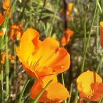
Spring Wildflower Identification in the Merced River Canyon
Spring has started – and wildflower season too! I didn’t end up hiking on the Hite’s Cove trail, but did see a TON of wildflowers, and not just poppies. Using my amateur botanist skills I have created Beaut-tree.net’s first wildflower guide: the Merced River Canyon Spring Wildflower Guide
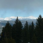
Yosemite Snowshoeing: Crane Flat Fire Lookout
Winter is almost over! Or, at least it seems that way since daylight saving time and 60 degree weather has started here in Groveland. But, since it did rain last week Curtis and I were able to Yosemite snowshoeing one more time this weekend. We ended up picking a classic, the Crane Flat Fire Lookout. We have cross country skied up to the lookout before, but I could return to again and…
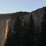
Yosemite Firefall 2013 & How to enjoy the Yosemite Sunset
This weekend I got to check an item off of my Yosemite Bucket List: seeing the Yosemite firefall! Curtis and I spent two evenings (Saturday and Sunday, February 23rd and 24th) among a flock of fancy cameras & photographers waiting for the sun to set in just the perfect way on Horsetail Falls. Except calling it “Horsetail Falls” is a bit of a stretch – perhaps we should temporarily label…
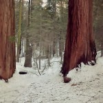
Snowshoeing the Merced Grove of Sequoias
Our trip snowshoeing the Merced Grove of Giant Sequoias allowed us to travel off trail to see a few of the Sequoias you can only peer at in the summertime.
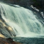
Carlon Falls for a December Hike
Trailhead: Evergreen Rd, Stanislaus National Forest – after bridge on South fork of Tuolumne River/ Opposite side as Carlon picnic area sign!
Distance: ~ 3.5 miles out and back. Trail is fairly level at first and then goes over a couple large hills right before reaching the falls.
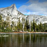
Lower Cathedral Lake Hike – A late fall hike
Trailhead: Tioga Rd / Hwy 120, on the West side of Tuolumne Meadows by the Cathedral Lakes sign. Parking here is pullout/parallel and usually a mess so you should see the line of cars as you approach.
Distance: ~7 miles (out and back). climbing mostly in the hike “out”, & descending in the back “back”

Mariposa Grove – Without an overpriced Tram Ticket!
Trailhead: Mariposa Grove Rd/Parking lot off of Hwy 41. Might be necessary to take a shuttle in peak times of year.
Distance: ~ 2 miles round trip to Grizzly Giant & Tunnel Tree. The trail is moderately sloped on the hike out.
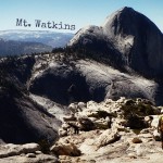
Day Hiking Mt. Watkins, Yosemite – Sweet Solace Off the Trail
Trailhead: Olmsted Point, off of Tioga Rd / Hwy 41
Distance: ~ 9 miles out and back. Trail is fairly level with just enough climb in the way out that you will appreciate gravity’s help on the way back.
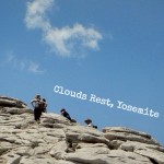
Day Hiking Clouds Rest, Yosemite – Resting with the Clouds
Trailhead: Sunset Lakes, Tioga Rd / Hwy 120 on the West end of Tenaya Lake
Distance: ~ 14 miles out and back. Good and steep on the way out, with downhill on the hike back.


 Hello! I am a 30-something outdoors-lady, backpacker, and resident of Groveland, California -


Follow Me: