Tanbark Trail Big Sur: Hiking at Julia Pfeiffer Burns SP
Following Saturday’s short hike to the beautiful McWay Falls in Big Sur I was adamant about wanting to go for a longer day hike. Unfortunately the trail I had noted to hike, the Ewoldsen Trail, is apparently closed right now (March 2013)… but looking at the maps in the parking area of the McWay Falls trailhead Curtis & I discovered that the previously closed Tanbark Trail was now open instead, and it did look like a very similar, although slightly longer, hike.
Curtis: “Denise, it is already 2pm. Do you think this is a smart idea?”
Denise (shoving a late lunch of quinoa salad into her face): “What? 2pm? Really? It is only 6 miles round trip…” I proceeded to do some sketchy hiking time math in my head and compare it to Groveland sunset time, “We can power hike!”
Curtis: (Sigh)
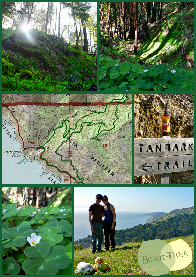
Tanbark Trail Big Sur, the perfect St Patties weekend hike!
Trailhead: Highway 1, Big Sur. The trail in on the East side of the road by a series of pullouts about a mile north of a large paved vista parking area (see map here). Alternatively you can take the fire road, or make a loop using the fire road, which is just South of the paved vista parking area (see this map instead).
Distance: The state park map in the McWay Parking lot claimed doing the Tanbark trail by itself was 3.2 miles one way (6.4 miles for the out and back), and looping it with the fire road (which would require ~1 mile of walking along the road to get back to the car) would make a 6 mile loop. My GPS tracking app (and my legs!) disagrees with this claim marked the trail at 8.2 miles in length, going from sea level to 2083 ft above sea level. See the GPS track for the hike here.
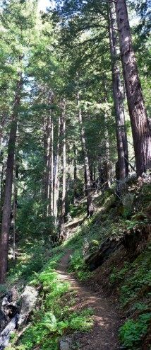
The redwoods that line the Tanbark trail offer lovely shade on a hot day.
First off I want to point out that this weekend was St Patties Day weekend, and the Tanbark Trail was the most appropriate St Patties Day hike I have ever been on! The trail starts off running along a creek among the redwoods and the ground cover you are hiking along? CLOVERS. Everywhere! We don’t need any Shamrock Shakes to celebrate in Big Sur.
The trail itself is pretty straight forward and you would be hard pressed to find yourself lost, except initially when you need to take the fork to the right once you reach the Donald H. McLaughlin Grove of Redwoods. Luckily we guessed that we needed to start going uphill at that point, following the switchbacks past many other closed trail sections. The trail offers a few ocean views as you head up to the top, but more often you find yourself among the redwoods on a steady uphill climb.

How long does it take to set up a timed photo-shot? Evidently a long enough for some hamstring stretches!
Once you do reach the top of the trail, and realize it took 4 miles instead of the advertised 3.2, you will find signage to help you either head back down the fire road, or follow up the hill just slightly further to see the relic of the Tin House. Just beyond the Tin House there is a nice hillside to sit on an appreciate the ocean views you just hiked up to. Additionally, as I was surprised to find, there is another (and newer?) trail starting from atop the Tanbark trail – The Waters Trail. From what I could see it follows the ridge line, and currently just stops abruptly. Perhaps the state park is looking into connecting the Tanbark trail with some of the other great trail in the area? Because that would be amazing!
At the start of the trail I was curious about what this Tin House marked at the top of the hike. I had predicted it was a relic of an abandoned building, but did not think it would be as big as it was… who toted all this tin up here in the first place? I have since found a very nice blog post on Hiking Big Sur (a website I will use if or when I return to Big Sur) that explains that the same rich woman who built a home next to McWay Falls built this one too. I am not sure why the one by McWay falls was torn down (perhaps liability?), but it is fun to see the history of this old house still standing.
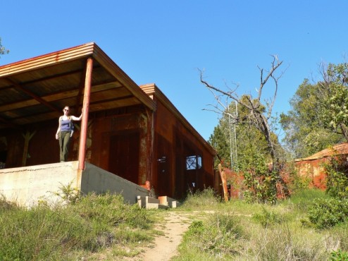
Rusty Tin House 2013. I think I have my tetanus shot? Just kidding Mom!
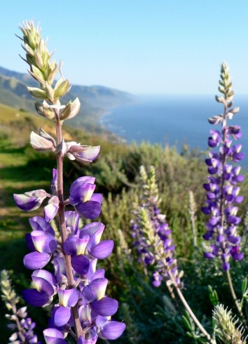
One of many views from the fire road trail. The amount of light on this trail lets the wildflowers really shine.
After lounging on the top of the trail as long as seemed reasonable, given the impending twilight, we headed back down the fire road trail hoping it would be a shorter hike. I would still recommend hiking down the fire road, because of the constant views you get of the coast and beautiful wildflowers, but do not expect it to be shorter. The fire road does get you down to the road in less distance, but the additional 1 mile hike back along the road ends up making this route the same distance as the 4 mile hike in on the Tanbark trail.
All and all we still managed to get back down to the car before 7, and before sundown. I loved hiking this trail and am so grateful Curtis put up with all the power-hiking we did to get to the top and back before the day’s end. More images from our hike are in the gallery below, and coming up next will be my last post about our Big Sur Trip detailing our experience camping in Andrew Molera State Park.



 Hello! I am a 30-something outdoors-lady, backpacker, and resident of Groveland, California -


I really liked the pics. The shamrocks, the CA poppy,a Siammese Redwood and you and Big Sur of coarse!Very nice trip,hey?